
Resources & insights
A little clarity goes a long way.
Practical guidance for commercial and residential property documentation: understand your building, organize its information, and prepare for the decisions ahead.
Property readiness · 3 min read
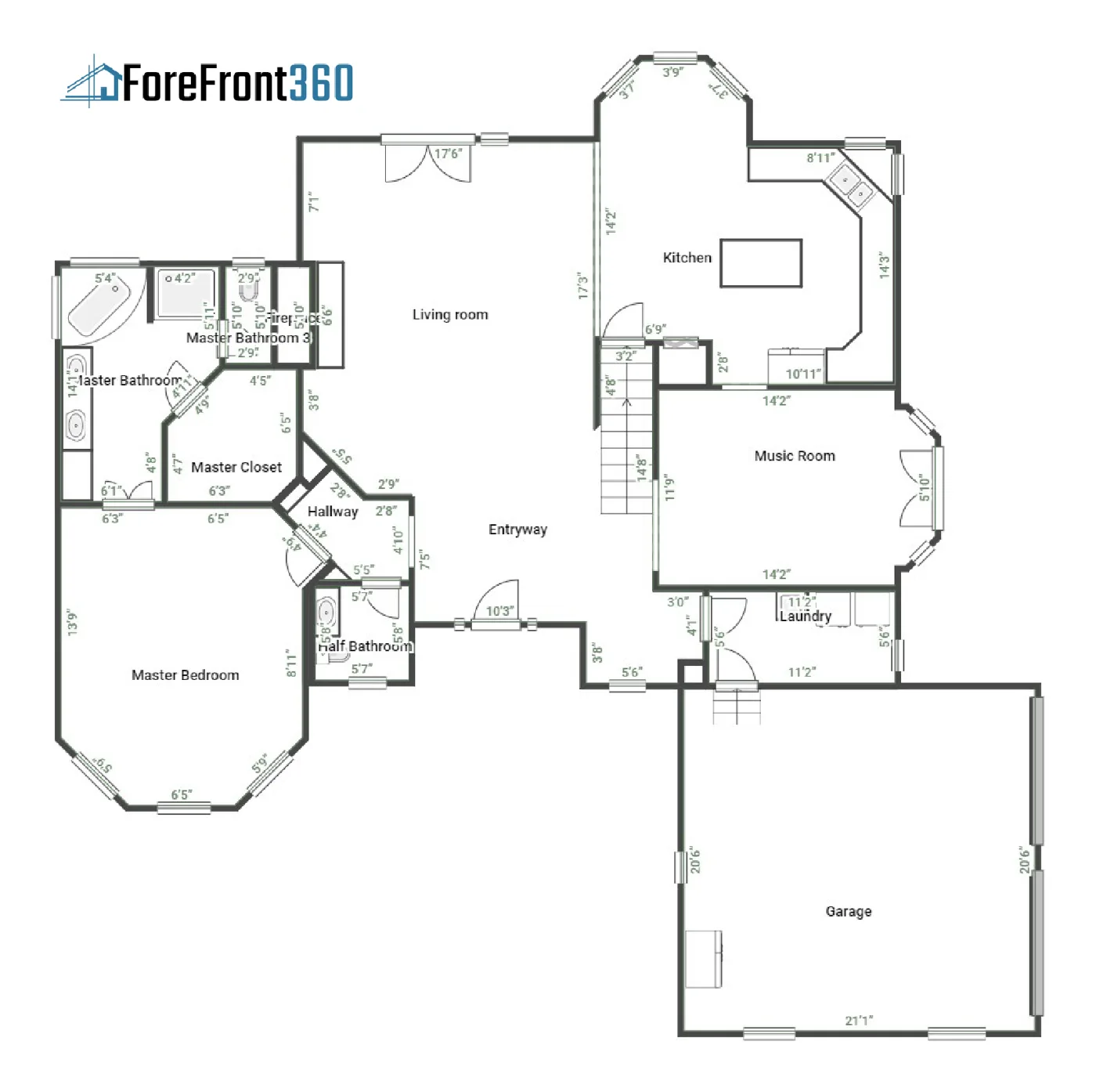
What belongs in a useful property record?
A practical starting point for organizing building information before it is urgently needed.
Read the guide →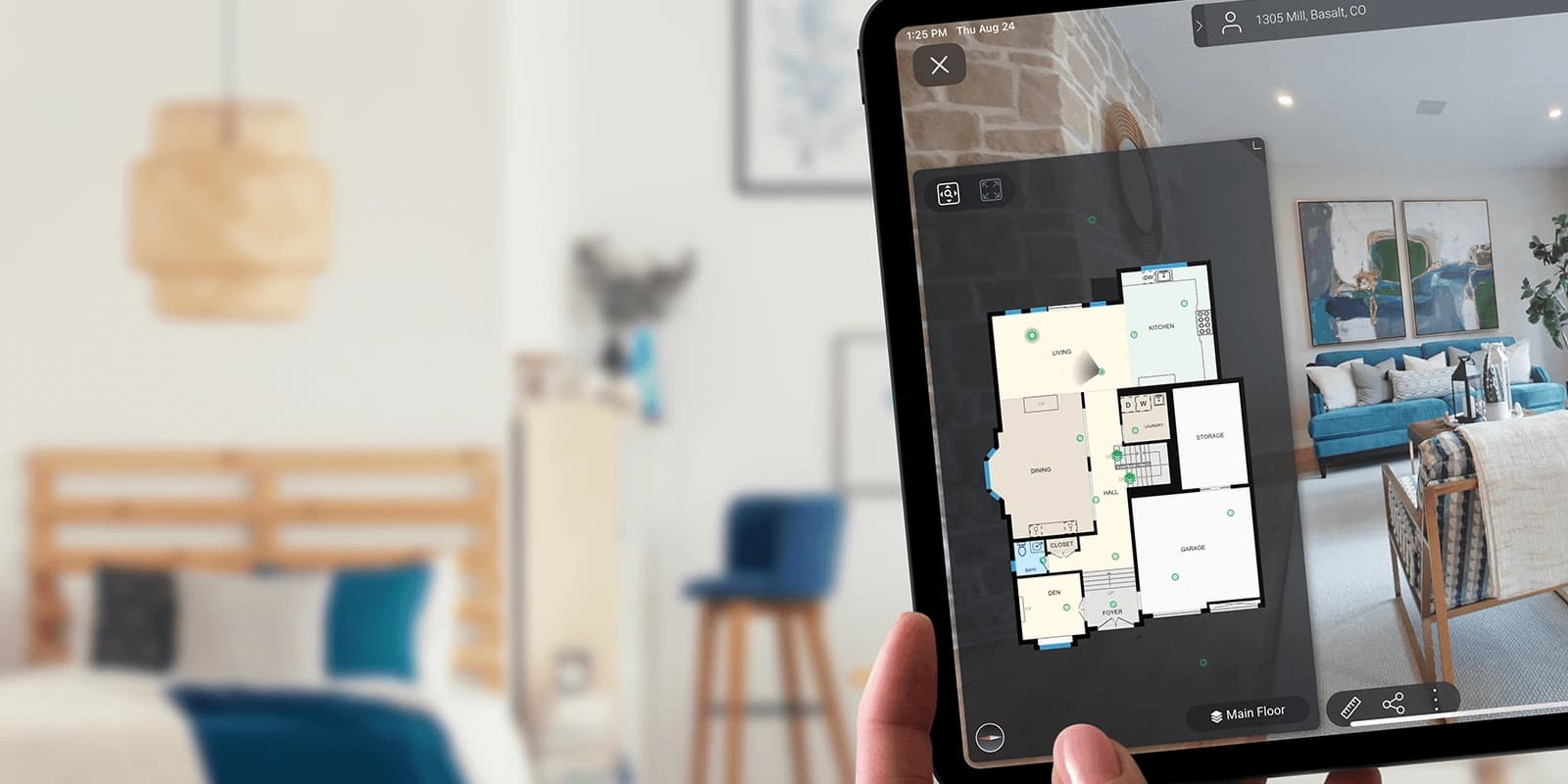
Digital documentation · 9 min read
Floor plans, virtual tours, CAD, and Revit: what you receive
A plain-language guide to measured plans, remote measurements, equipment tags, editable drawings, and building models—and when each is useful.
Read the guide →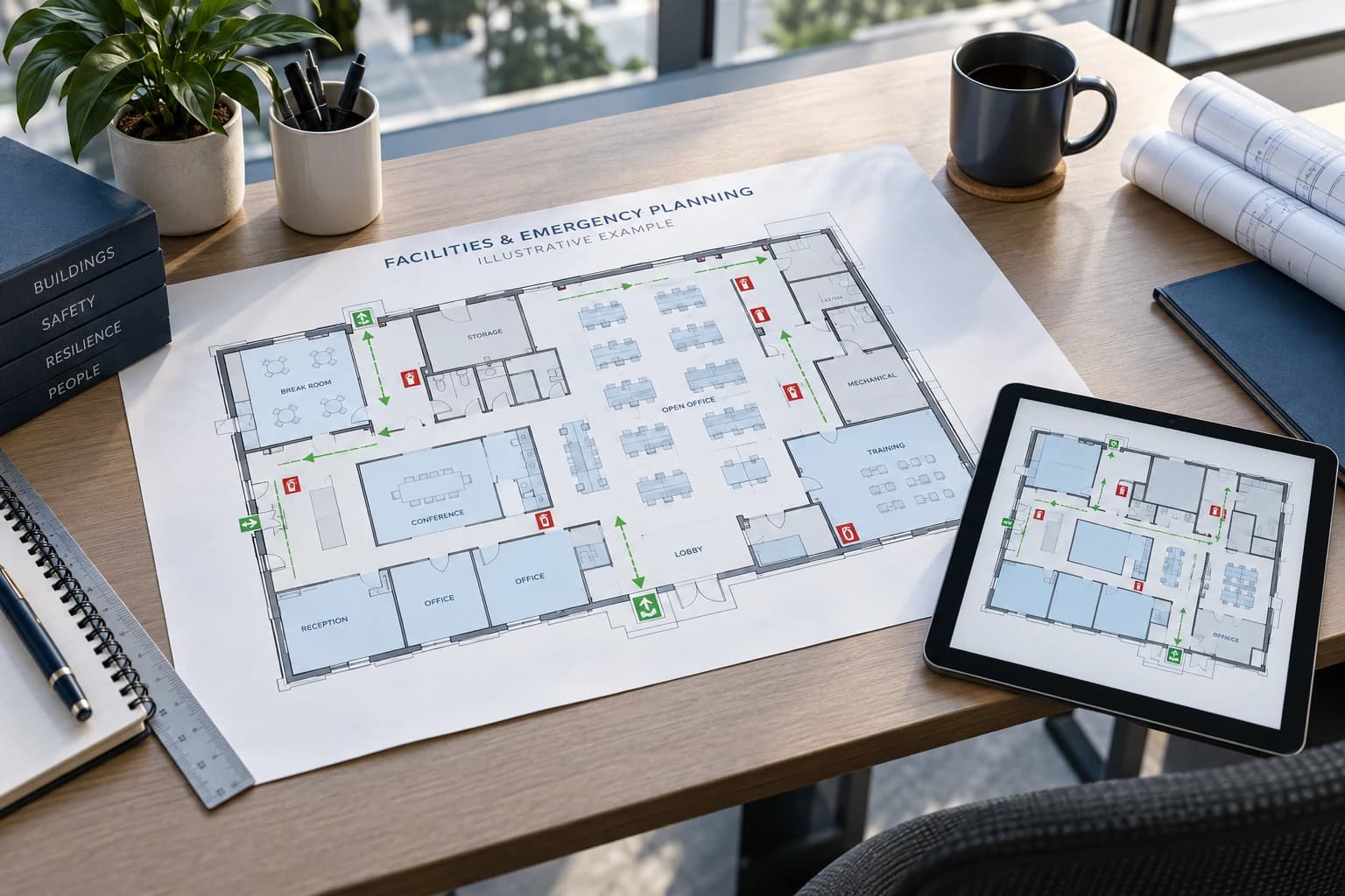
Facilities & operations · 3 min read
How to scope a multi-building documentation project
Start with the decisions your team needs to make, then build a capture plan around them.
Read the guide →Frequently asked questions
A useful starting point.
Do you document both commercial and residential properties?
Yes. ForeFront360 provides floor plans, virtual tours, and property documentation for commercial and residential properties, including offices, schools, facilities, and homes. Deliverables are scoped to each project. Site plans are currently available for residential properties only; that restriction does not apply to floor plans or virtual tours.
Do all projects include every deliverable?
No. Your proposal specifies the core plans, tour, measurements, and property information. Tagging, CAD files, models, ceiling plans, elevations, and hosting terms are confirmed for the project.
Where does ForeFront360 work?
ForeFront360 is based in Greater New Orleans and serves projects across the Gulf region and beyond. Contact us with your property locations so we can confirm availability and scope.
Can we start with one building?
Yes. A single property or a carefully scoped pilot is a useful starting point before expanding across a campus or portfolio.
Do we need to know exactly which services to order?
No. Tell us what you need to accomplish and what information is missing. We will help define the capture scope and deliverables.
Can our existing drawings and records be used?
Yes. Existing plans, reports, and equipment records help establish what is already available and where new documentation would add value.
What determines the price?
Property size, location, access, complexity, capture requirements, and deliverable formats determine the scope. We provide a project-specific proposal.
How accurate are the floor plans and measurements?
For applicable residential properties, our floor-area measurements meet ANSI Z765 standards for measuring and reporting residential square footage. ANSI compliance describes the measurement and reporting method; it is not a blanket accuracy guarantee for every room dimension or on-screen measurement. Tell us your property type, intended use, and required tolerance so we can confirm the appropriate specification. Tour measurements remain estimates, and critical dimensions require on-site verification.
Can contractors take measurements from the virtual tour?
Yes, when measurement functionality is enabled in the agreed tour. Horizontal, vertical, and multiple-viewpoint estimates can help prepare a scope. Coverage and viewpoint selection affect results. Critical dimensions must be measured on site.
Can I receive CAD, DWG, DXF, or SVG files?
Yes. Discuss the required output before capture. A drafted DWG, DXF point data, and SVG plan graphic serve different purposes. Confirm file contents, layers, software compatibility, and any additional processing in the proposal.
Can you provide a Revit model?
Yes. ForeFront360 can scope an RVT model or a 3D DWG for a building-shell reference. It is separate from a navigable tour and a 2D floor plan. Your design team should specify the modeled elements, level of detail, software version, and verification requirements.
Can equipment and building systems be tagged?
Yes. Scoped tags can connect equipment locations to available label photographs, identifiers, notes, and supporting files. We agree on which assets and fields to document. These records support maintenance and orientation; they are not equipment inspections or automatic service tracking.
Can you provide ceiling plans and exterior elevations?
Yes, as separately scoped outputs. A reflected ceiling plan documents agreed overhead features. Exterior elevations show building façades and require planned exterior capture. Both need additional drafting; access and capture requirements should be confirmed before the visit.
Can architects and engineers use these files?
They can use agreed drawings and models as existing-condition references within their workflows. Confirm software/version compatibility and required detail before ordering. Responsible professionals must assess suitability and verify relevant dimensions and conditions; delivery does not include design approval or engineering certification.
How long can we access the property information?
Tour hosting, renewal terms, permitted sharing, downloads, and file retention are confirmed in your ForeFront360 proposal. Do not assume indefinite hosting. We can discuss downloadable plans and available offline-viewing options for your handoff requirements.
Can this support multiple buildings or a pre-loss record?
Yes. A campus or portfolio can use consistent room names, capture dates, equipment fields, and agreed files across locations. A dated record can support insurance and recovery discussions as well as everyday operations. Future changes require updates; the record does not establish coverage or hidden conditions.
Start with a conversation
What could better property information do for you?
Tell us about your property, your team, and what you need to solve.